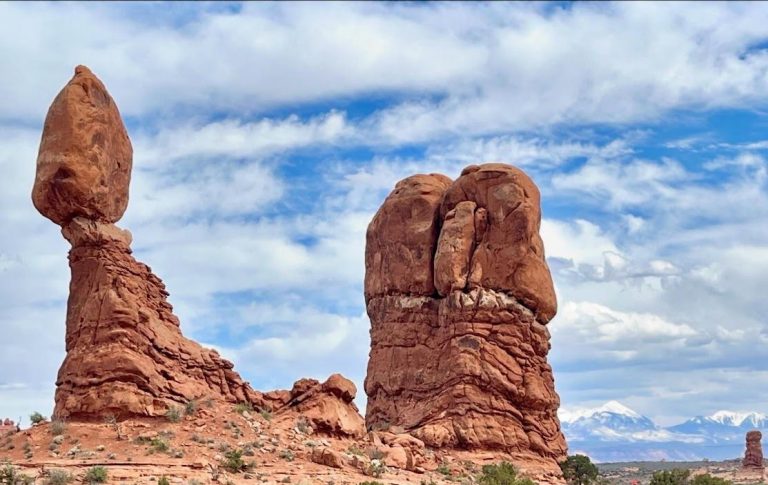
Rattlesnake Arches: Colorado’s answer to Arches National Park
Rattlesnake Arches is comprised of the largest concentration of natural arches outside of Arches National Park in Utah. They are located within Black Ridge Canyons Wilderness area in McInnis Canyons National Conservation Area. The lengthy hike to reach these arches will test your limits, but the spectacular concentration of arches is worth the effort. This hike should only be attempted by experienced hikers and should not be attempted during the heat of summer.
This post contains affiliate links. If you make a purchase through one of these links, I may receive compensation at no extra cost to you. Thank you for your support.
Hiking Rattlesnake Arches
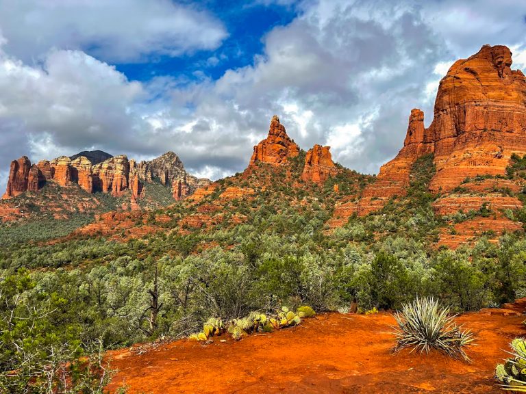
Rattlesnake Arches outside of Fruita, Colorado is amongst the best places to visit on Colorado’s Westen Slope. The hike to reach these arches is quite lengthy unless you have a robust 4×4 vehicle to reach a shorter length trailhead. Due to the length of the standard hike, these arches are far less busy than Arches National Park, yet many of the arches are every bit as spectacular as those found at Arches. The full-length hike is nearly 16 miles roundtrip while the route from the 4×4 road is approximately 5.5 miles roundtrip. The long route is the only way I have currently accessed Rattlesnake Arches, so this post is about that route.
To reach this trailhead, you begin at the Pollock Bench Trailhead within McInnis Canyons National Conservation Area. There are numerous trails in this area, so I recommend downloading the GPS route for this hike off of Alltrails. The route follows Pollock 1 Trail for approximately two miles before there is a junction with Rattlesnake Arches Trail. You then remain on Rattlesnake Arches Trail for the remainder of the hike. There are several areas where it can be hard to find the trail, so I again recommend downloading GPS waypoints for the hike.
There are also two areas on this route that have a fair amount of exposure where a slip could be deadly. I would not recommend hiking this trail if it is wet since these two stretches are on sloped slickrock. If wet, this rock can be treacherous. Be sure to take your time on these stretches and wear footwear with adequate tread. The first section of slickrock is shortly after you begin following Rattlesnake Arches Trail (just over two miles into the hike). The second and more intimidating stretch is approximately 3.3 miles into the hike. This second slickrock stretch is even worse looking on the way back since you have to make your way downhill as well as across a steep slickrock face that edges out to a cliff face with a significant drop below.
There is one other spot approximately three miles into the hike where you need to find your way down a couple of rock ledges on a cliff face. This is relatively straightforward if you find the right place to descend, but finding this spot can take a minute due to the large number of social trails in the area. This is another reason I highly recommend downloading a GPS map of this hike. These three areas area really the only areas on this hike that can be a bit sketch. The rest of the difficulty of the hike just comes from its distance and elevation gain. My GPS enabled activity tracker recorded this hike at 15.8 miles with 2,651 feet of cumulative ascent along the route.
Once you reach the arches a little over seven miles into the hike, you quickly begin to realize that the effort was worth it. You pass by arch after impressive arch for approximately another mile. The views of the surrounding canyons in this area are also breathtaking. Once you reach the end of the trail, I recommend finding a nice shady area underneath one of the arches to break for a snack and to rehydrate before your hike back to the trailhead.
I will reiterate that this route is an advanced level hike and should not be done by anyone unsure about their hiking abilities. This is especially true due to the length of the hike, the lack of shade, and the spots that entail hiking across sloped slickrock or finding your way down cliff faces. If you are confident in your abilities and prepared for all contingencies, then you will absolutely love this hike and the views of Rattlesnake Arches! If you do not live close to the trailhead, you can stay nearby in Fruita or Grand Junction. Staying in one of these towns means you will have a short drive to the trail, so you can get an early start on this lengthy hike. You can find rates and availability for hotels in Fruita here or Grand Junction here.
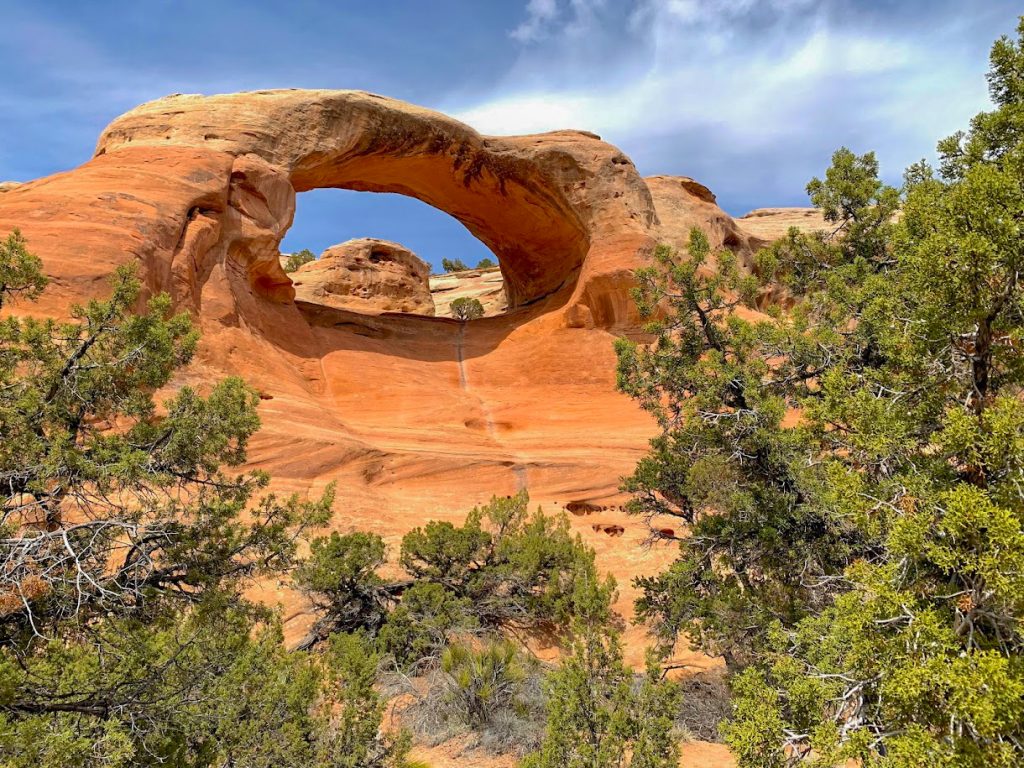 Views of Cedar Tree Arch at the end of the trailhead
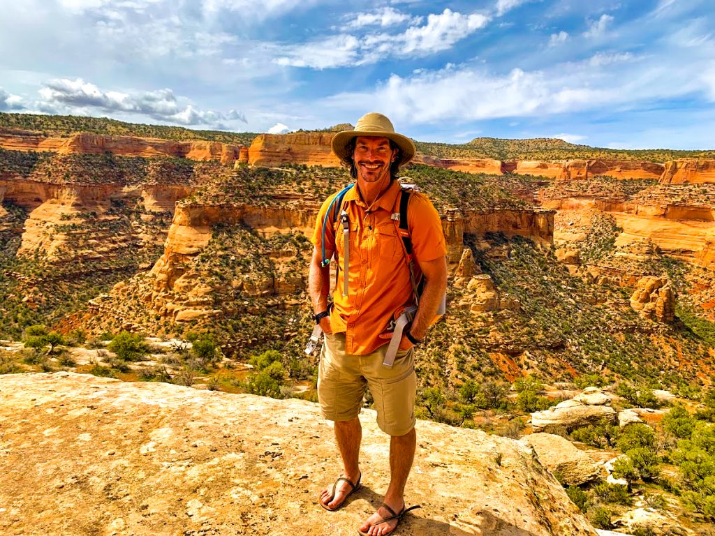 The views of the canyons in Black Ridge Canyons Wilderness Area would be worth it even if there were not any arches
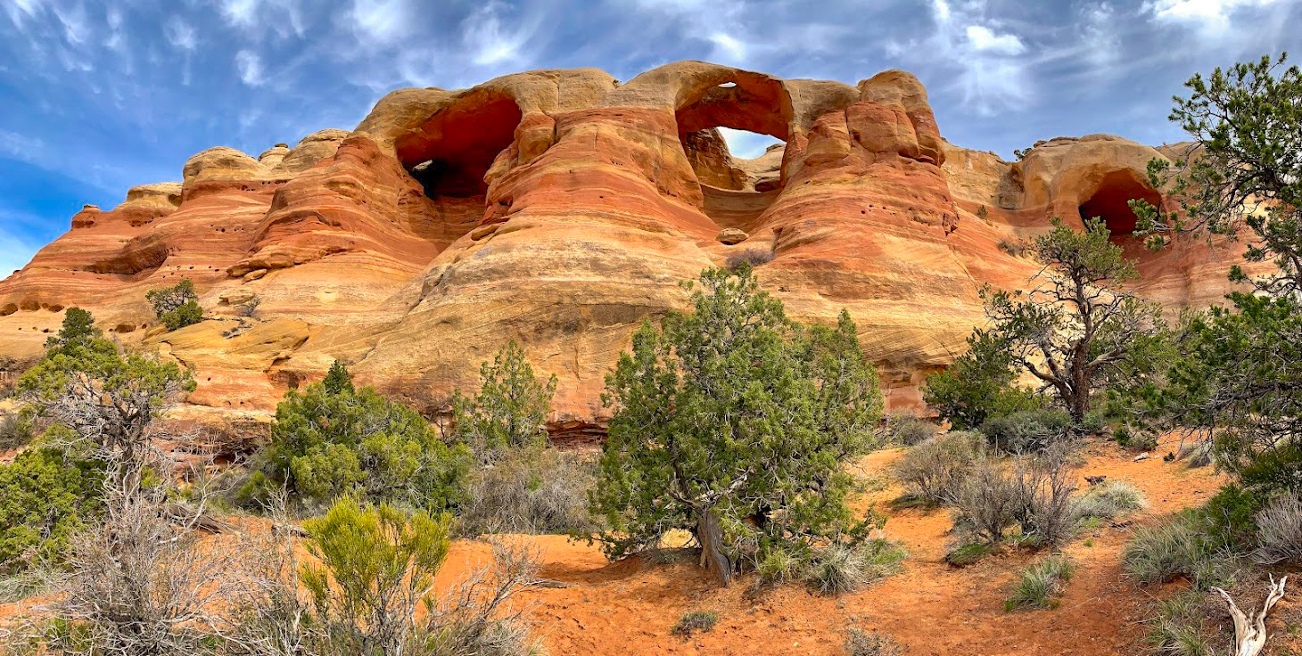
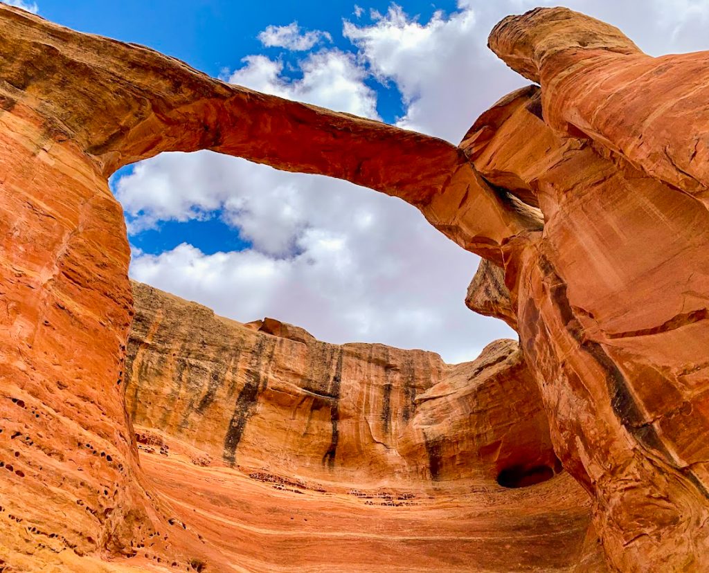 Centennial Arch is just one of the super impressive arches that you will see
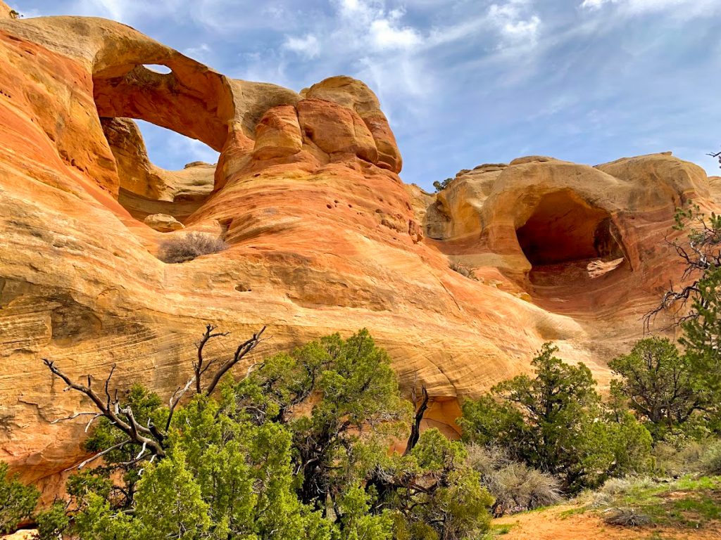 The large concentration of arches in such a short span is quite spectacular to see
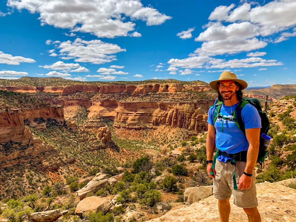 More views of the canyons in the area from another hike I made to Rattlesnake Arches
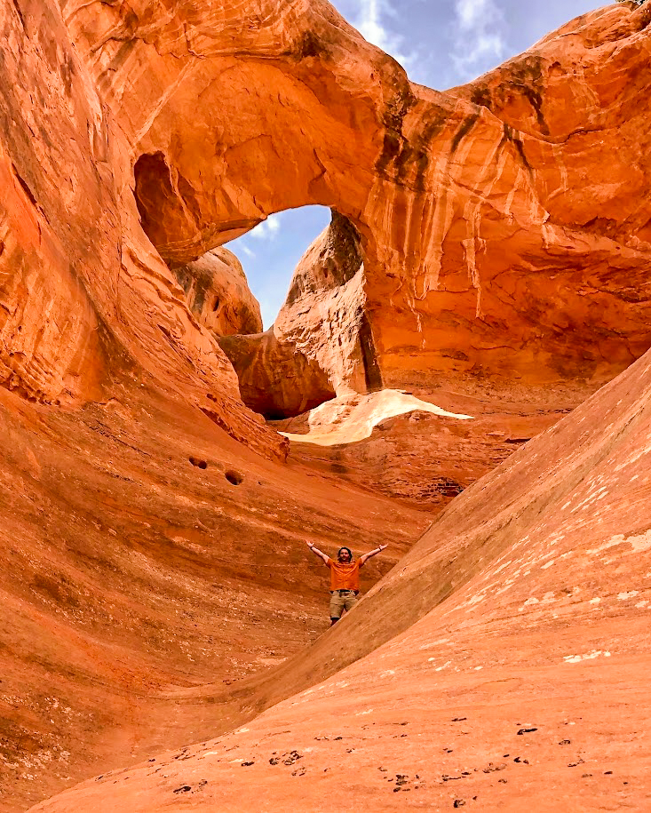 With so many unique arches to see, Rattlesnake Arches is definitely worth the visit if a hike of this length is something you are capable of doing